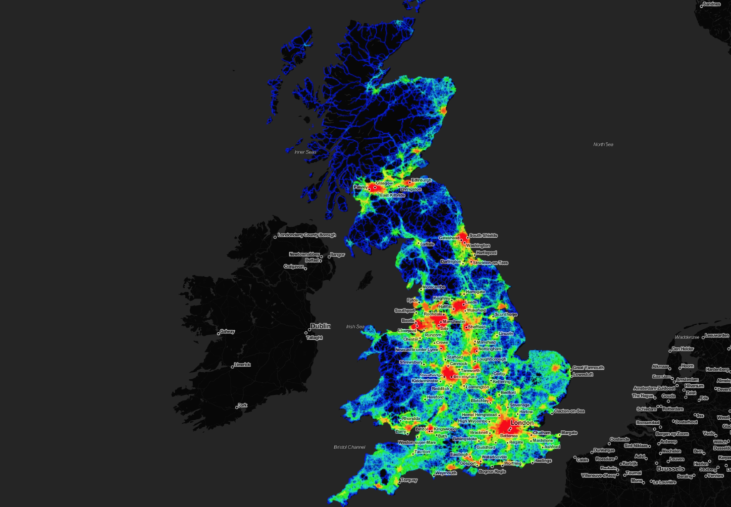
The first release of the Space Syntax OpenMapping project is a Great Britain wide, web-based dataset that includes pre-processed measures of spatial accessibility for cities/towns/villages.
The model is a free & open resource for urban planning, real estate analysis & research. It has been created in line with Space Syntax’s mission to disseminate its unique, science-based and human-focused approach to the planning, design and operation of buildings and urban places.