Healthy Environment Risk Explorer (HERE)
Year
2021
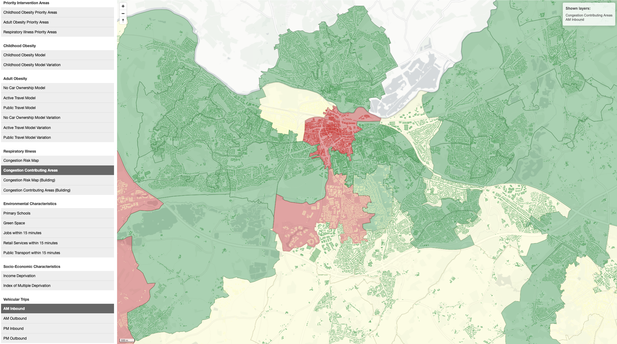
Local Authority partners across the Thames Valley wanted to better understand the spatial distribution of health outcomes (including Child Obesity, Adult Obesity and Respiratory Illnesses), and how this related to socio-economic and built environment conditions.
We developed three separate multi-variate models to interrogate which conditions are consistently present in areas with worse health outcomes. By linking health data with integrated urban models, census data, and mobility data, we were able to identify where the environment created higher risk of particular outcomes. The models and contributing datasets are accessible through a web-based interface that is visually structured to guide practitioners through a set of questions to better understand what factors may be contributing, and where these create higher risks. The model, interface and datasets are all scalable across the whole of the UK.
HERE makes it possible to identify where interventions ranging from behaviour change campaigns, to public transport upgrade, to physical intervention could be most suitable. Using mobility data and spatial network analysis, the origins and destinations of trips, as well as the routes people were most likely to follow, could be identified, and this then made it possible to try to change the behaviour of people commuting from these.
