Net Zero Spatial Planning Tool
Year
2024
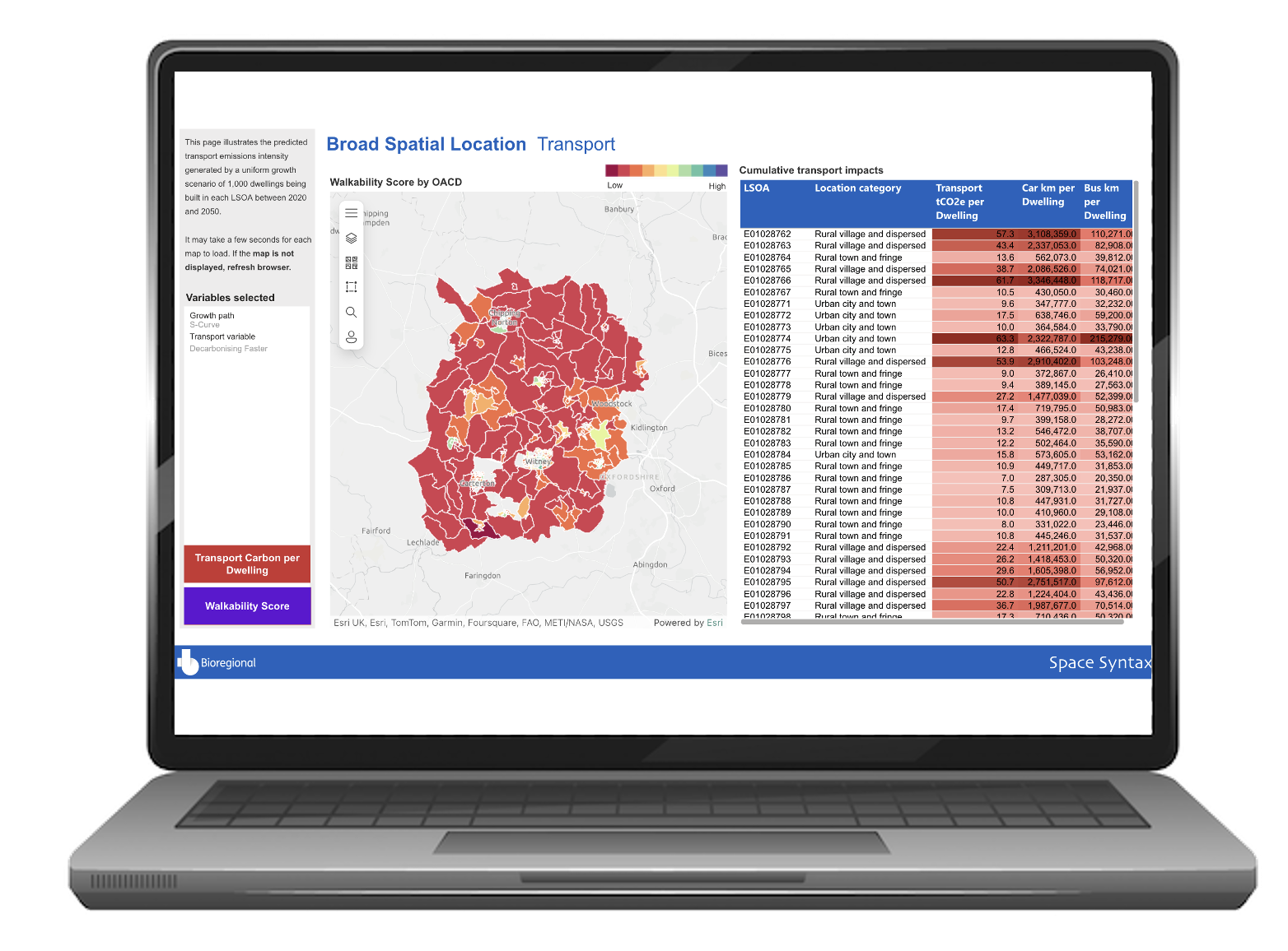
The UK needs to deliver significant numbers of new homes, but this needs to be balanced against the carbon emitted during their construction and daily operation. Space Syntax developed a Transport model which allowed locations to be compared in terms of the carbon released as a result of residents’ daily travel patterns.
We developed mode share models that predict the number of journies, and distance travelled, by all modes of transport, for all purposes.
Across England and Wales, (LSOA) census boundaries were categorised into one of four groups, based on how integrated they are in a larger settlement, and how embedded they are in a wider region. A Mode Share model was produced for each area type, combining characteristics of Location, Population, Walkability, Public Transport access, Socio-Economic and Demographic characteristics. Mode Shares were turned into distances travelled by extracting unique average commute distances for every census area in the country which then used DfT datasets to calculate emissions.
Our models were integrated in a web-based dashboard allowing multiple scenarios to be compared against each other, as well as individual scenarios to be interrogated by Local Authorities themselves.
